

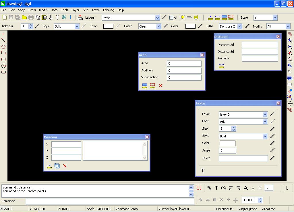
GroundCAD 0.1 is a new 2D CAD software for land surveying,civil,mapping ...
File:Groundcad.jpg
image/jpeg, 96.2 KB, 1024 × 739 pixels
File history
| Date | User | Size | Dimensions | Comment |
|---|---|---|---|---|
| 2014-07-27 22:27 UTC (current) | Naoum78 (contribs) | 96.2 KB | 1024 × 739 pixels | GroundCAD 0.1 is a new 2D CAD software for land surveying,civil,mapping ... |
File usage
1 page uses this file: